The Caribbean and Gulf region is seeing rising concern as the National Hurricane Center begins advisories on “Potential Tropical Cyclone Nine.” This label is used when a system hasn’t yet formed a closed circulation but is expected to develop quickly and may threaten land.
Forecasters say the disturbance has strong potential to organize soon. Early assessments indicate it could become a tropical storm “later today or tonight,” at which point it will receive the name Helene. This may signal the start of a fast-changing weather event for parts of the southeastern United States.
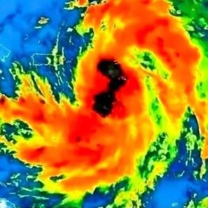
Right now, the system is described as a “disorganized cluster of thunderstorms” over the northwestern Caribbean Sea. Even so, conditions around it are becoming more favorable for development.
Warm sea-surface temperatures, high moisture, and improving upper-level wind patterns are helping the system organize. These factors often point to a higher chance of rapid strengthening once circulation becomes more defined.
As the disturbance moves northward, the NHC will continue updating its guidance. The key concern is how quickly it can form a closed circulation and intensify, potentially affecting a wide stretch of the southeastern U.S. coastline. With conditions improving, the transition into Tropical Storm Helene could happen soon, making early warnings especially important.